
Biking along concrete rivers, walking around empty water reservoirs, hearing about severe droughts and being told that LA is built in a desert makes me wonder. How can this city quench the thirst of the people living here, and what about the future prospect?
Water import
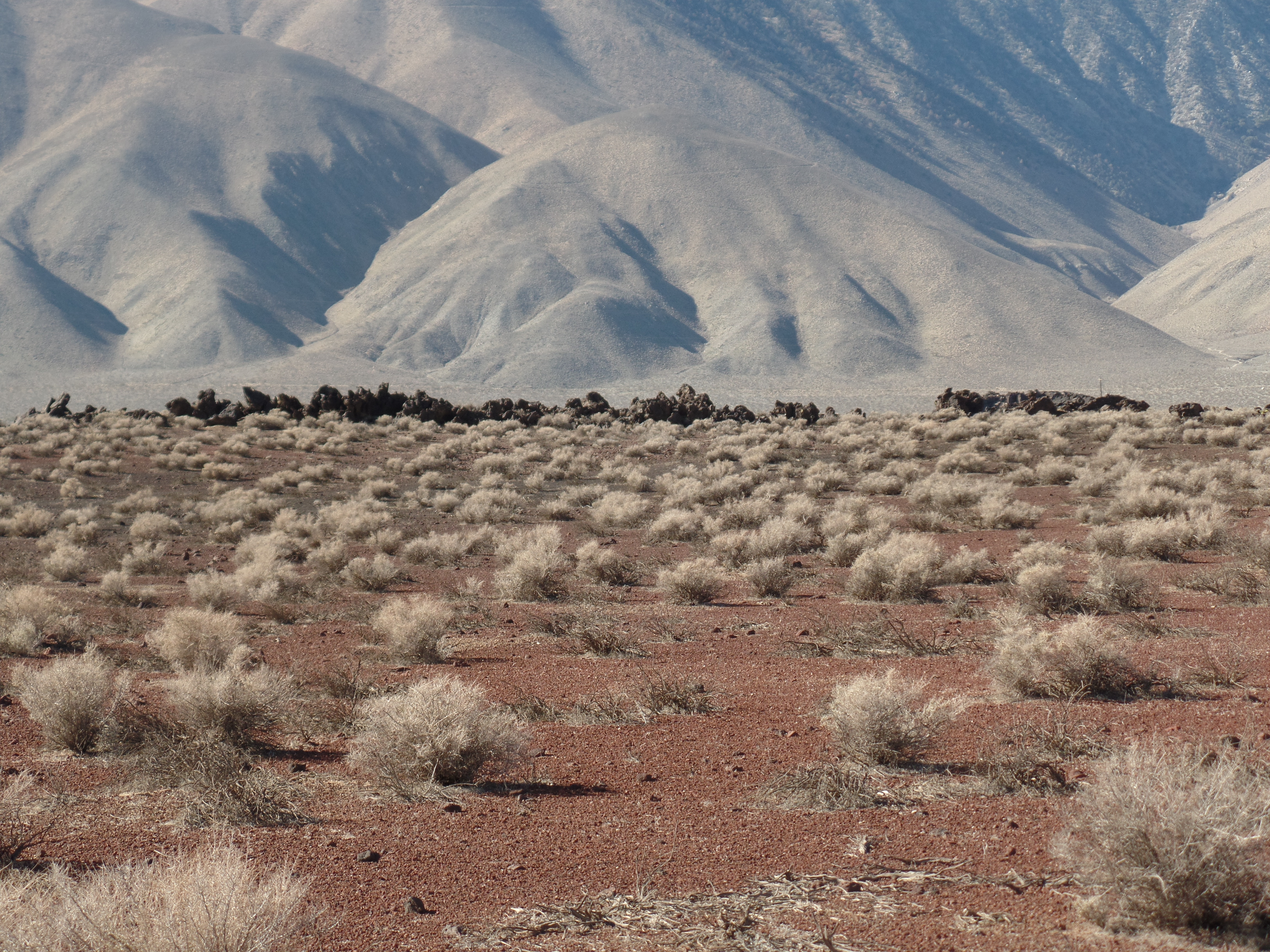
That LA is built in a desert turns out to be a myth. The real desert landscape starts behind the mountains. Los Angeles has a Mediterranean climate and is spread out in a basin and a valley that originally had a lush green landscape with oaks and willows along widely braided riverbeds and sage brush growing on the drier parts. The streams and aquifers with groundwater made the basin and the valley very accommodating. By the turn of the twentieth century, the valley and the basin were among the most productive fields of the US. At that time, the city of Los Angeles was expanding rapidly. Between 1900 and 1910 the city of LA had been growing from 100,000 to 300,000 inhabitants, and that was just the beginning. The city planning office foresaw that rivers and groundwater would soon be insufficient to serve the population, therefore engineers were sent out into the mountains to find new water sources. In 1904 they stumbled upon the flourishing Owens Valley, 150 miles north from LA, between eastern Sierra Nevada and the White Mountains. The valley is 100 miles long, about 10 miles wide and is formed by fault lines and volcanic activity. Melting water from the mountains used to fill the valley’s river and lakes. William Mulholland built an aqueduct 233 miles long that took the water from the Owens Valley and brought it to LA. At this point the official story took shape that the LA landscape was a desert and that the city needed to import water in order to survive.
Valley exploitation
During the building of the aqueduct, water wars were fought with the locals in the Owens Valley, and the city prevailed. From then on the Owens Valley was left with a shortage of water, dusty lake-beddings causing severe air pollution (because of all the metals in the volcanic dust), a fading waterfowl and dissolving fish stand. By 1940 the valley had become a dry, poor, practically abandoned landscape. An area that Los Angeles used between 1942 and 1945 to house more than 1,000 Japanese Americans at the Manzanar War Relocation Center Camp. Citizens who after the bombing of Pearl Harbor were no longer considered trustworthy, even if they had been fighting under the American flag. The relation between the city and the valley is still tense. The Owens region has been fighting the city over years in lawsuits, forcing the LA Department of Water and Power to reduce the air pollution around the dry Owens Lake and to refill the Owens River gorge, so that the original ecosystem with brown trout can be restored.
Relying on imported water and better use of local water
While building the Los Angeles aqueduct, it became clear that still more water was needed. The Hoover Dam in the Colorado River was added as well as the Californian aqueduct that takes water from the San Joaquin- and the Sacramento River. Between 1930 and 1970 the city grew from 300,000 to 3 million people. But LA’s local water was not optimally used. The existing riverbeds in the city were transformed into concrete open drains to transport storm water as quickly as possible to the ocean without flooding urban areas. So this water was lost for urban use. The groundwater was being pumped up out of the aquifers in such amounts that it started to fill up with salty water from the ocean. Towards the end of the 1970s, the city and the county started to take care of the local water by building a 70 miles long pipe network for reused water (the Purple pipes) and by developing seawater barriers, a kind of water cork, between ocean and groundwater to keep the groundwater sweet. In the same period research on desalination of ocean water started.
Water supply and demand 2015
Although the population of LA continued to grow with one million inhabitants between 1975 and 2015, the urban water use (22% of the total water demand, the other 78% is for agriculture and mining) did not increase. This means that the amount of water used per capita has been significantly reduced. This reduction is a result of the reuse of wastewater, fixing leaks, collecting storm water and of water conservation. But still only one sixth of the total water supply is collected locally, while five sixth of the total supply is imported water. I described some of the effects in Owens Valley, but the effects in the Great Californian Delta (St Joaquin and Sacramento River) are no less destructive. This delta is also a food production landscape, where for example 90% of the world’s almonds are being grown. So if the city wants to be prepared for the future, counting in climate change (diminishing of the snowpack) and a population growth (California expects to grow from 37.8 million to 60 million in 2050), bigger changes are needed if the city wants to become less depending on the import of water.

Water cycle as the future
Political goals are set on another 20% reduction in urban water use until 2020 and a decrease of imported water to less than 50% of the total supply (which means no growth). The Pacific Institute counted that it should be possible to double the population with only an increase of 40% urban water supply, to be found in local water, reuse of water and conservation. Desalination and more import of water are seen as backup solutions. In the urban landscape, this means filtering of the contaminated aquifers, preserving the local water by structural change in pavement design (“depaved Paradise”), by further stimulating drought resistant design for public green and gardens, rain barrels, by adding trees, stimulating “water neutral design” in all urban (re-) development, and by storing water in areas where it does not evaporate. It means increasing the use of re-used water, even for drinking, and developing further water saving techniques in the household.
Growth and density
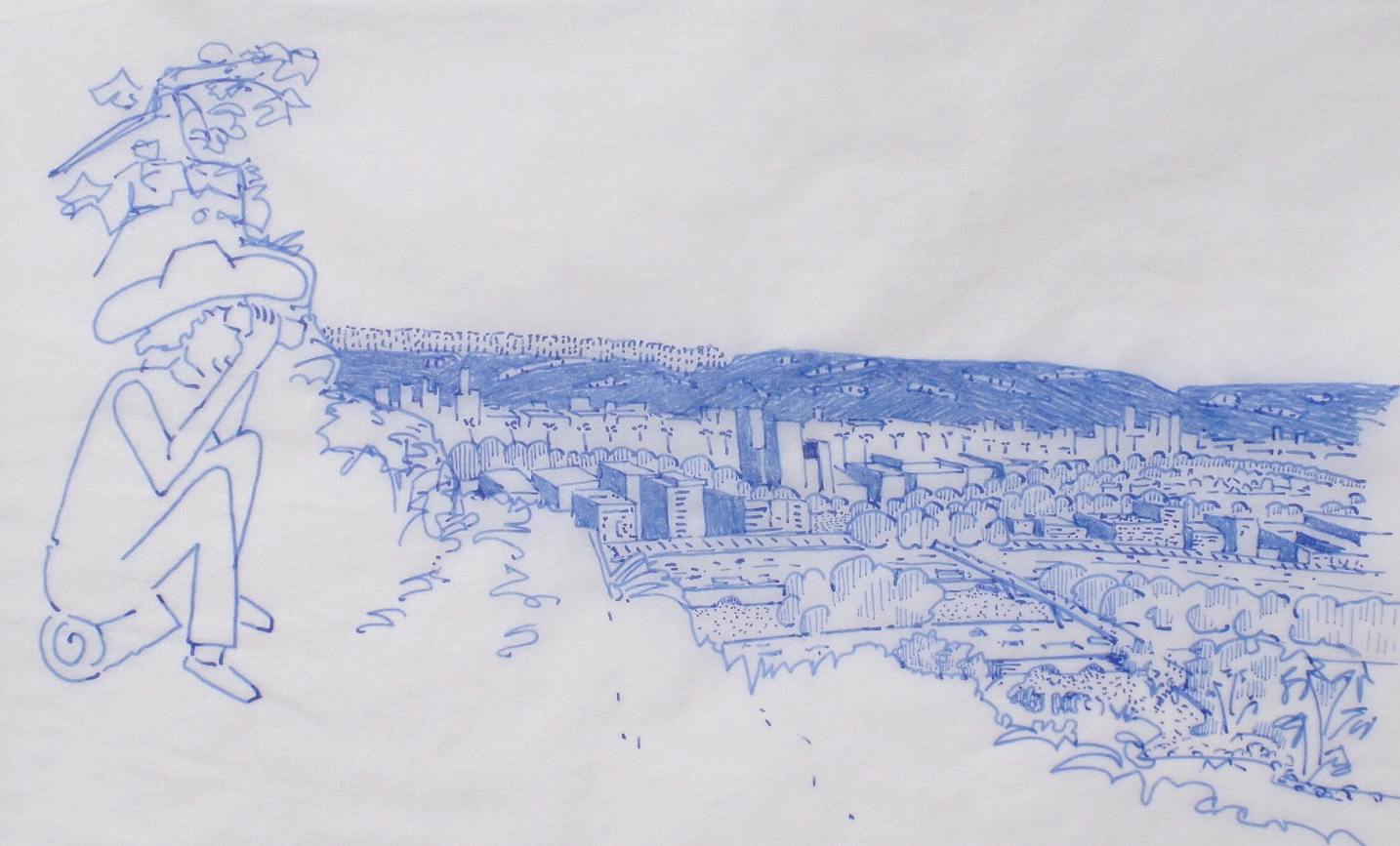
To me one huge parameter is missing in the predictions and future scenarios, and that is housing density. Population growth is seen in terms of an increase in single family housing, although the same model shows that households living in apartments use 50% less water. Combine this with the result of last year’s conservation campaign, where per family in the poorer and denser areas substantial water use reduction took place, in sharp contrast to for example Beverly Hills, where during the same drought water use increased. Single family housing implies urban growth in the real desert, in places like Palmdale, Lancaster and Victorville. So if LA would give me eternal life, I would rather be nibbling kelp cookies instead of almonds, I would be housed together with a lot of newcomers in the open, cool and shaded, eventually floodable sous-terrains, above the cistern of the High-rise apartment buildings situated along the depaved green LA River on biking distance from a metro station.
Sources:
- Californian Water Action Plan:
- http://resources.ca.gov/docs/california_water_action_plan/Final_California_Water_Action_Plan.pdf
- California Water Plan
- http://www.watereducation.org/topic-california-water-plan
- Westbasin
- http://www.westbasin.org/files/uwmp/section-4-water-supply.pdf
- LA river revitalization
- http://www.lariver.org/index.htm
- Bay Delta Conservation Plan, 2014
- http://baydeltaconservationplan.com/Home.aspx
- Pacific institute, an independent research institute on fresh water in Oakland developed n tool based on hydrological regions to map local changes in water demand through-out the months and years. http://www.californiadrought.org/new-data-show-residential-per-capita-water-use-across-california/
- Urban water demand California to 2100, incorporating Climate change
- http://pacinst.org/wp-content/uploads/sites/21/2014/04/2100-urban-water-efficiency.pdf

Reblogged this on .
LikeLike